PA_ACTIVITATS ESTIU_SENDERISME_4.jpgGrandvaliraRutes de senderisme Pal Arinsal
Hiking routes
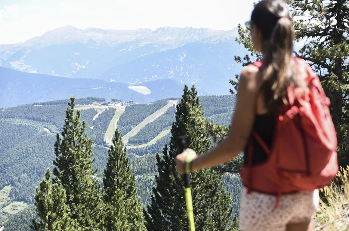
The Pal Arinsal resort offers signposted hiking routes adapted to different levels and accessible to all.
The current routes are signposted with all the relevant information, such as: distance, elevation gain, rest areas and areas requiring caution. Pal Arinsal offers various marked hiking routes and there are also other unmarked routes that can be done on foot.